Disaster Management
Scenario
This scenario provides an example of how next generation space and spatial technologies could be deployed to augment and enhance the current capabilities used for land management, emergency response and recovery in catastrophic crises such as bushfires and floods.
The Problem
Catastrophic events during the 2019/20 bush fire season devastated communities, property, businesses and our natural environment. At least 28 people died nationwide, over 4 million hectares burnt, and in New South Wales (NSW) alone, more than 3,000 homes were destroyed or damaged. State and federal authorities struggled to contain the massive blazes, despite mobilizing a massive firefighting effort with international support. Critical terrestrial communications infrastructure is often disabled or damaged during a major fire incident, hampering rescue efforts, put lives at further risk and reducing the coordination and effectiveness of the response effort. On New Year’s Eve, 2020, residents at Moruya Heads NSW South Coast, were continuously monitoring weather and fire information until mobile coverage, home internet connections and the local ABC radio transmitter all dropped out. Copper wire survived where it was buried underground, but this can be fragile and is being removed in many areas. Better access to and integration of information sources, coordination of community efforts and provision of assured emergency response systems are important in mitigating the risk to lives, homes, property and the environment. Management of the entire ecosystem is essential as is the early warning systems necessary to ensure that fire detection is timely and the response immediate. Technology has an important role here.
The Solution
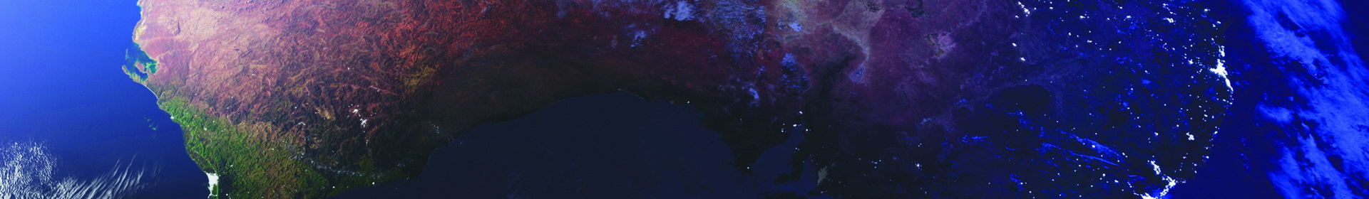
Technology can play a significant role in all the phases of the emergency response effort. This scenario proposes the development of ‘The Australian Disaster Resilience Digital Twin1’ to integrate existing information systems and response mechanisms and develop semantic models as well as artificial intelligence-enabled decision models that will provide information products and decision support in land management planning and prevention of major catastrophic crises such floods and bushfires. Such a system will bring together spatial data, including digital elevation models, structural and floristic vegetation data, location of people and built assets, including critical infrastructure, land management and fire history, hydrology, climate and meteorological data, and assessments of risk . It is important to note that environmental conditions can change rapidly and insufficient temporal and spatial sampling of these data sets can result in inadequate situational awareness for decision makers and lead to sub- optimal outcomes or at worse, put lives at risk.
Satellite remote sensing data sets will be integrated from existing and proposed technologies, some of which may be developed within SmartSat CRC projects or from other Australian initiatives. In order to augment and validate satellite data, terrestrial IoT sensor networks will be established to measure moisture levels and other parameters as well as serve as an early warning system. For example cameras with thermal infrared sensors could be installed and work in unison with satellite image data to identify fires at the instant that they are lit and provide an early warning notification so that the fire crews can respond early and prevent the fire from spreading. Deep learning neural networks can be developed to identify fires quickly, with software that can be loaded in-situ on the sensors themselves (on the ‘edge’), including on-board satellites, to provide near-real time processing and analysis. This would permit the swift identification of the burning fire fronts and provisioning of that information to emergency responders. The SmartSat CRC plans to develop technologies that will enable the creation of integrated space and terrestrial networks so that separate expensive satellite terminals are not needed in situations where part of the local terrestrial communication network has been rendered inoperable as a result of the fire. These networks will aim to provide ubiquitous reliable connectivity at all times so that the emergency crews, residents and the general public remain connected and fully informed at all times.
Protecting people is critical during a catastrophic crisis such as a bushfire. Next generation personal locator beacons will be developed similar to those used in maritime environments. As the IoT technologies are becoming extremely inexpensive these will be deployed across the nation to ensure the location of humans and mobile assets can be accurately determined when required. These could be developed as wearable device or integrated into vehicles to provide alerting and allow people in distress to be rapidly located. Similar systems are used by the military and have been proven to reduce risk of loss of life in complex and dangerous environments characterised by the need for rapid decision making with incomplete data. We have the capacity and knowledge within our research programs to develop a prototype national “Blue Force Tracking” network to be deployed in high-risk environments during times of crisis or when conditions indicate high probability of catastrophic outcomes. The system could connect into a new Australian emergency response network and incident data management system. The system will work by gathering sensor data tethered to widely distributed devices which will generate reports from incidents. This can be combined with data from a variety of sources including hyper spectral and thermal imaging satellites to detect and monitor bushfires, multiple earth observation satellites and the feeds from the Bureau of Meteorology. After processing, this will be distributed in near real time to provide information on the well-being of people in areas of high risk and allow developing situations to be monitored.